Blake Franke · 27 October 2026
Rivana's Urban Foragers Document Edible Plants in City Limits
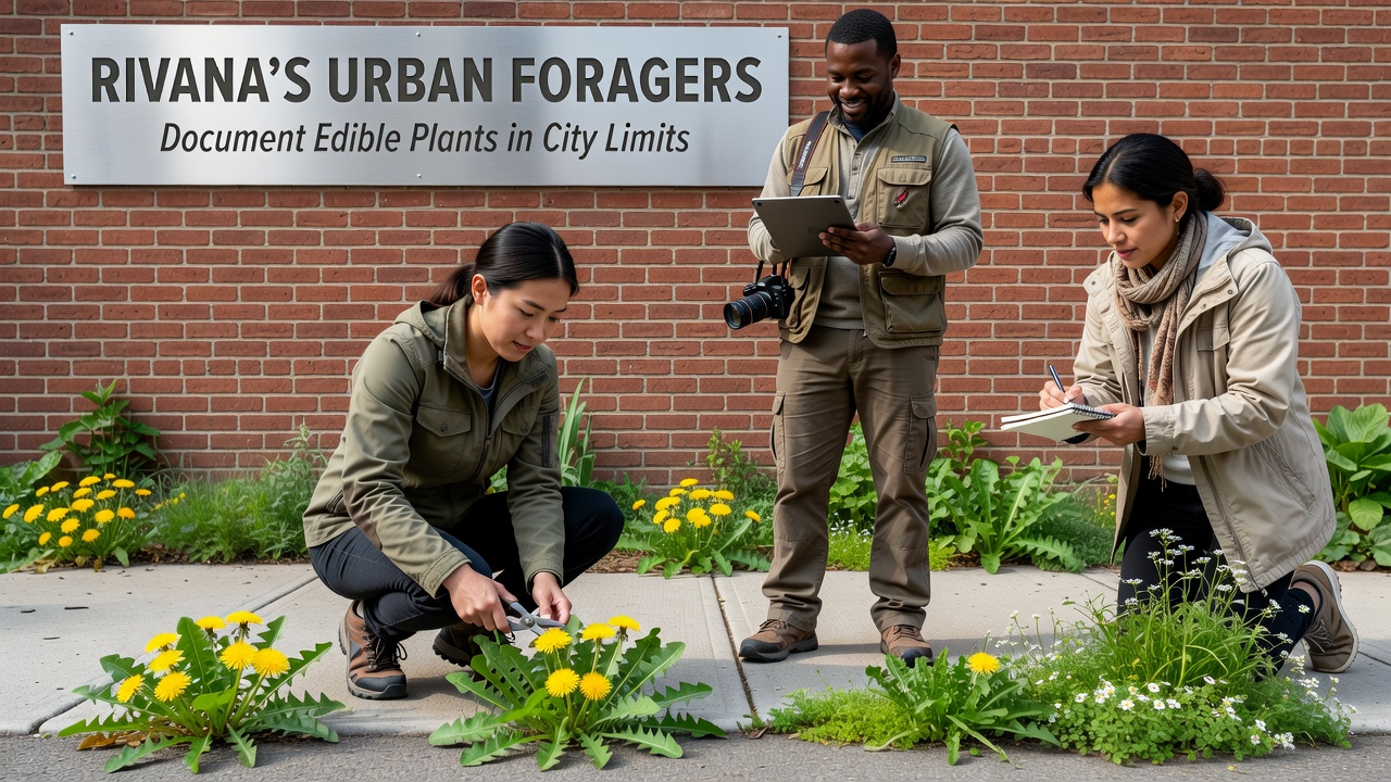
Groups of residents across Rivana have spent recent seasons mapping edible plants that grow within the city's boundaries, and their records now form a growing database of species found in parks, along sidewalks, and in abandoned lots. These efforts focus on identification rather than collection, with volunteers noting locations, seasonal availability, and growth patterns in a shared digital archive launched in early 2025.
Mapping Efforts Gain Momentum
Volunteers began systematic walks in spring 2025 after city records showed increased interest in local food sources, and by October 2026 the project had logged more than 180 distinct plant entries. Participants use standardized field sheets to record GPS coordinates, soil conditions, and companion species, then upload photographs and notes to a central platform managed by a coalition of community gardens and university biology departments.
Data from the archive indicates that species such as dandelion, purslane, and elderberry appear consistently in multiple districts, whereas less common finds like wild garlic mustard cluster near older railway corridors. Researchers from the local technical university cross-checked a subset of entries against herbarium specimens, confirming 92 percent accuracy in initial identifications.
Methods and Tools Employed
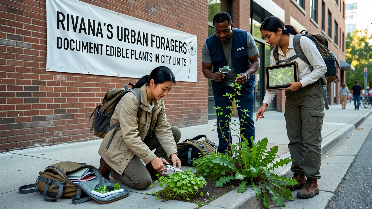
Teams divide the city into 12 zones based on historical land use maps, then conduct repeated surveys during spring, summer, and autumn months. Each zone receives coverage at least twice per season, allowing observers to track changes in plant density and health. Smartphones equipped with plant-recognition applications serve as the primary tool, supplemented by printed dichotomous keys for species that trigger lower confidence scores.
Training sessions held at community centers teach volunteers how to distinguish edible varieties from toxic look-alikes, and participants must pass a short quiz before joining field teams. The program also partners with the municipal parks department, which supplies access permits and shares maintenance schedules so surveys avoid active mowing or spraying periods.
Findings Released in October 2026
Project coordinators released an interim report in October 2026 that summarizes three full survey cycles. The document lists 47 species confirmed as edible in at least one growth stage, with detailed notes on harvest windows and preparation requirements drawn from regional ethnobotanical references. Maps accompanying the report highlight clusters near the river corridor and in the older industrial districts, where soil disturbance appears to favor certain pioneer species.
Cross-referencing with regional herbarium data from the University of Melbourne's botany collection revealed that several entries match plants previously documented only in rural settings, suggesting urban heat islands may extend growing ranges for some varieties. The report also records instances of invasive species such as Japanese knotweed appearing alongside native edibles, prompting separate discussions with environmental management agencies.
Community and Institutional Involvement
Local libraries host monthly workshops where residents review new entries and suggest additional survey routes. School groups participate through after-hours clubs that focus on safe identification practices, and several neighborhood associations have incorporated the archive into their own green-space planning meetings. City council members received copies of the October 2026 summary and requested follow-up data on species distribution before the next budget cycle.
External researchers have begun requesting access to the raw dataset, citing its value for studies on urban biodiversity and food security. One ongoing collaboration with the European Environment Agency examines how similar mapping projects in other mid-sized cities compare in species count and volunteer retention rates.
Conclusion
The documentation project continues with additional zones scheduled for winter surveys focused on root and bark resources, and coordinators plan to publish an updated public version of the archive in spring 2027. Records compiled so far provide a baseline that city planners and residents can reference when evaluating future land-use decisions, and the volunteer network continues to expand through word-of-mouth recruitment at community events.